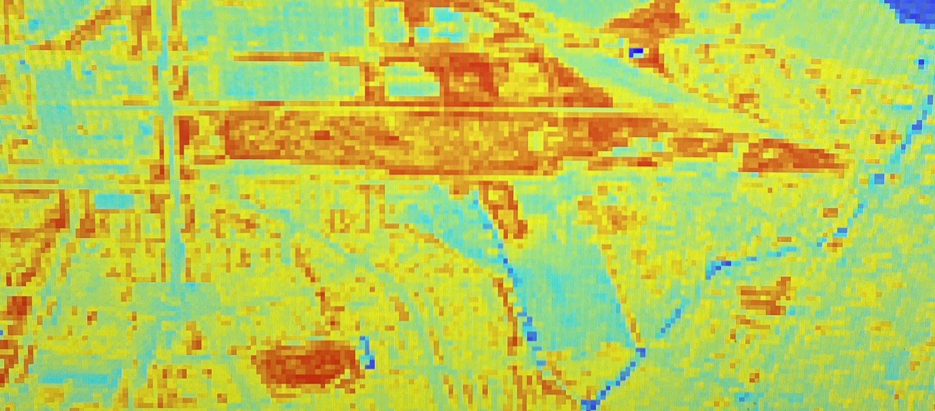
This is a land classification map of a region in West Amsterdam. The data was downlaoded from Sentinel 2. Different kinds of Symbology was applied to find vegetation health, presence of water and so on. Moreover both methods of supervised and unsuoervised classification was conducted.
